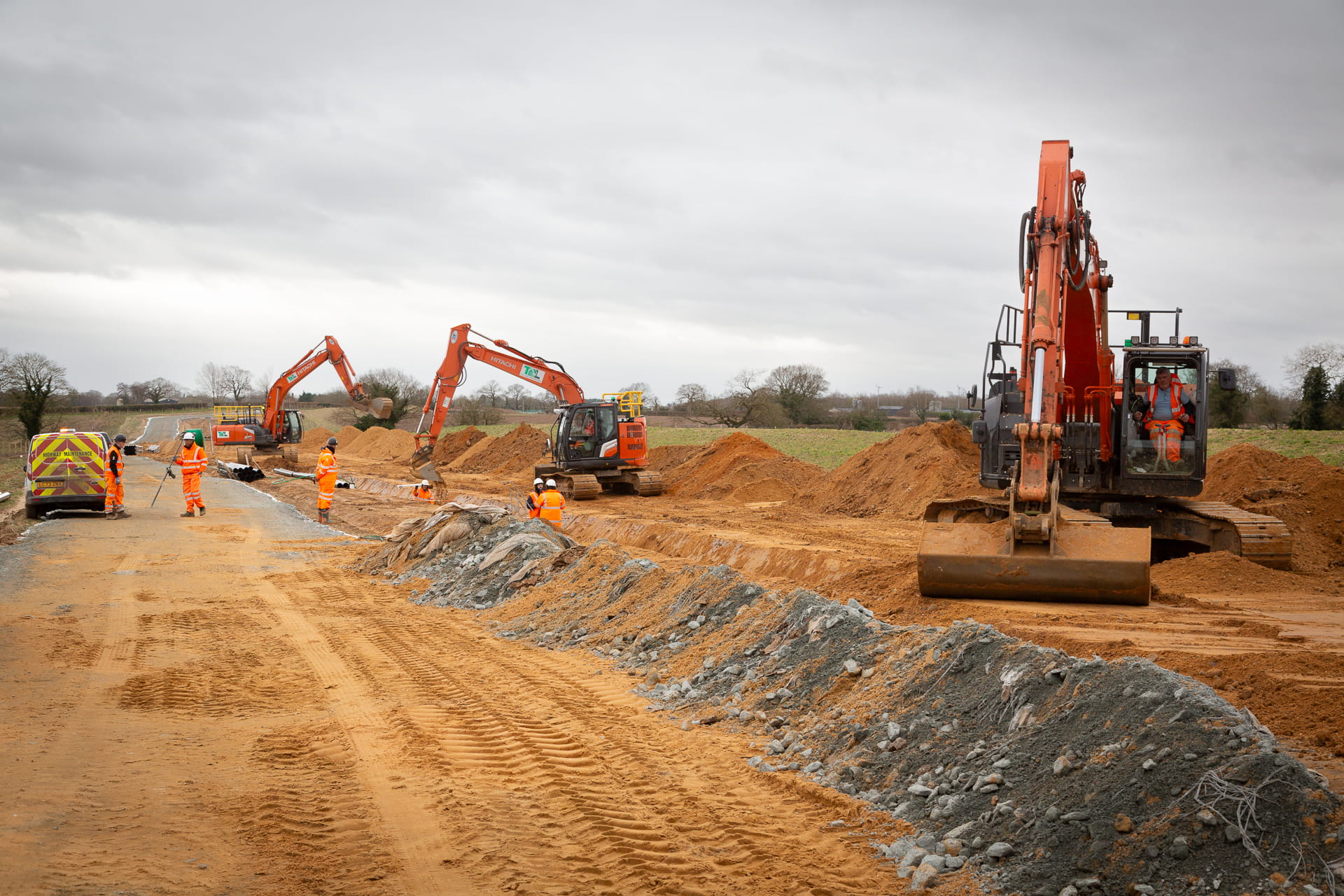
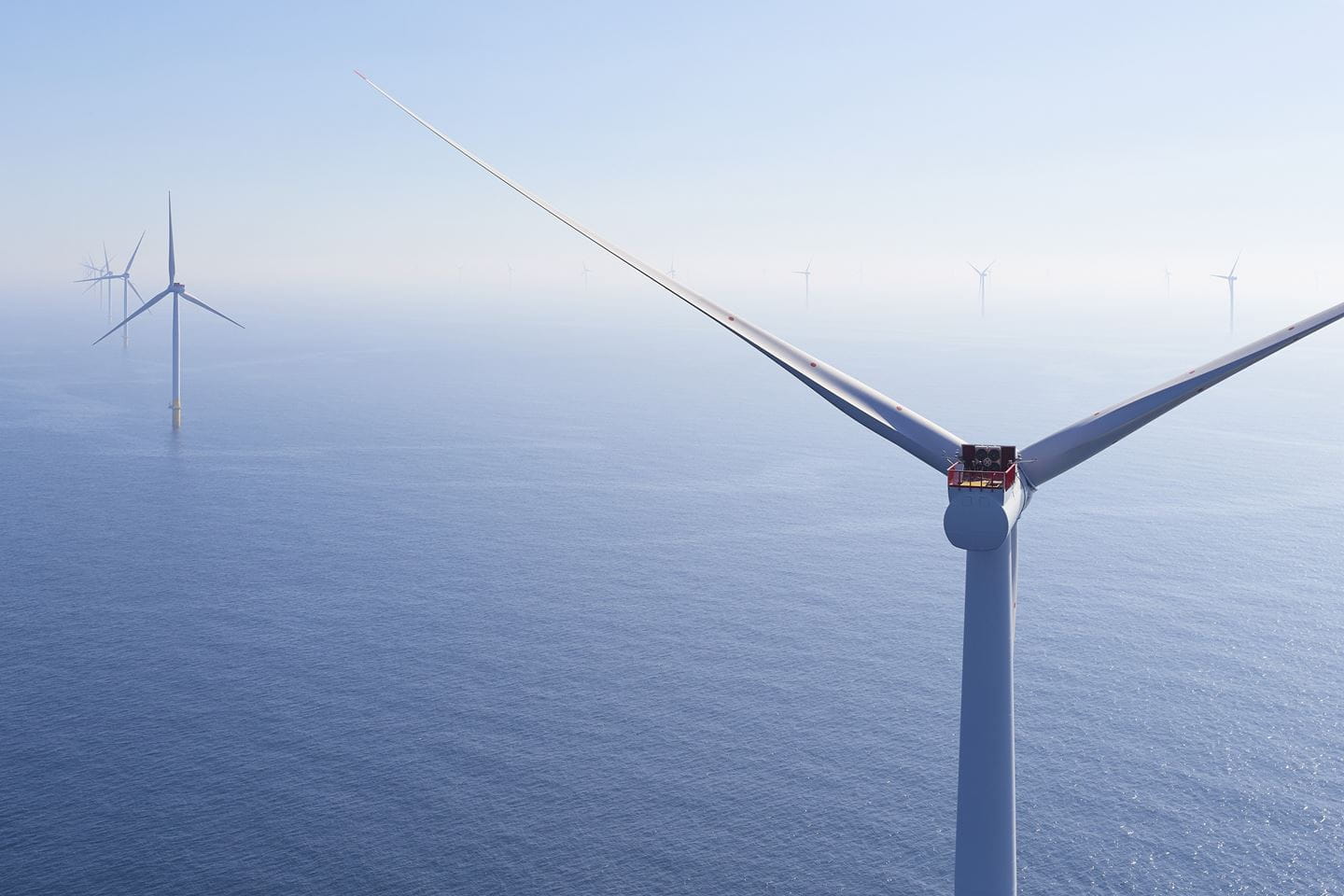
The Hornsea 3 offshore wind farm is currently one of the largest civil engineering projects in the world. Upon completion, it will generate enough green energy to power more than 3 million UK homes – contributing significantly to the UK’s net-zero goals and energy independence.
Our aim is to be good neighbours while we work to deliver this nationally significant infrastructure project.
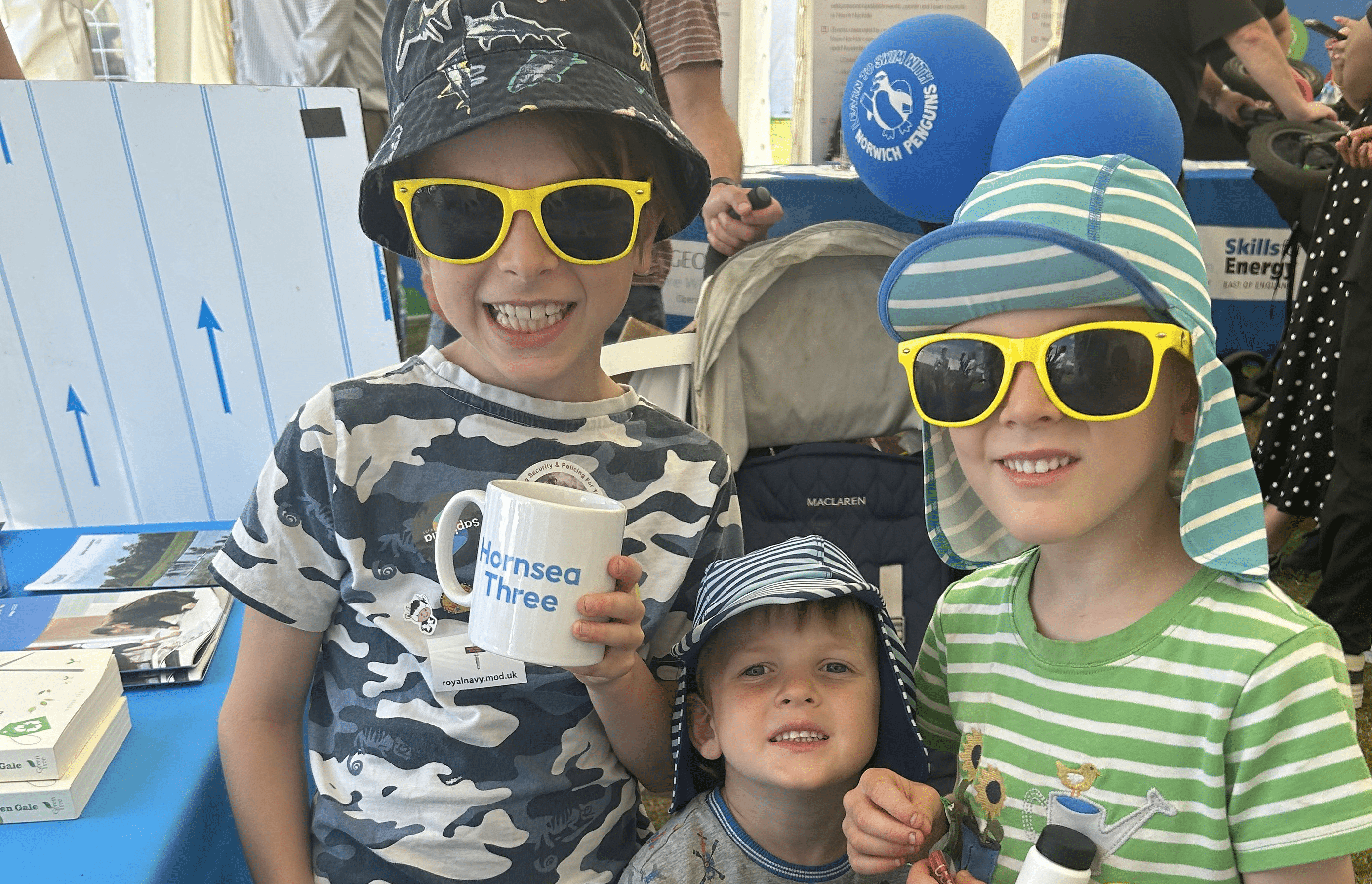
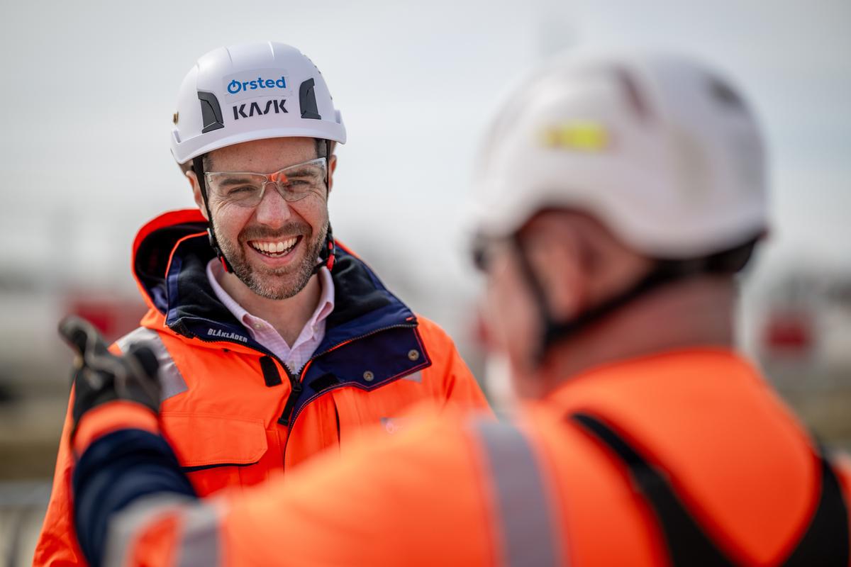
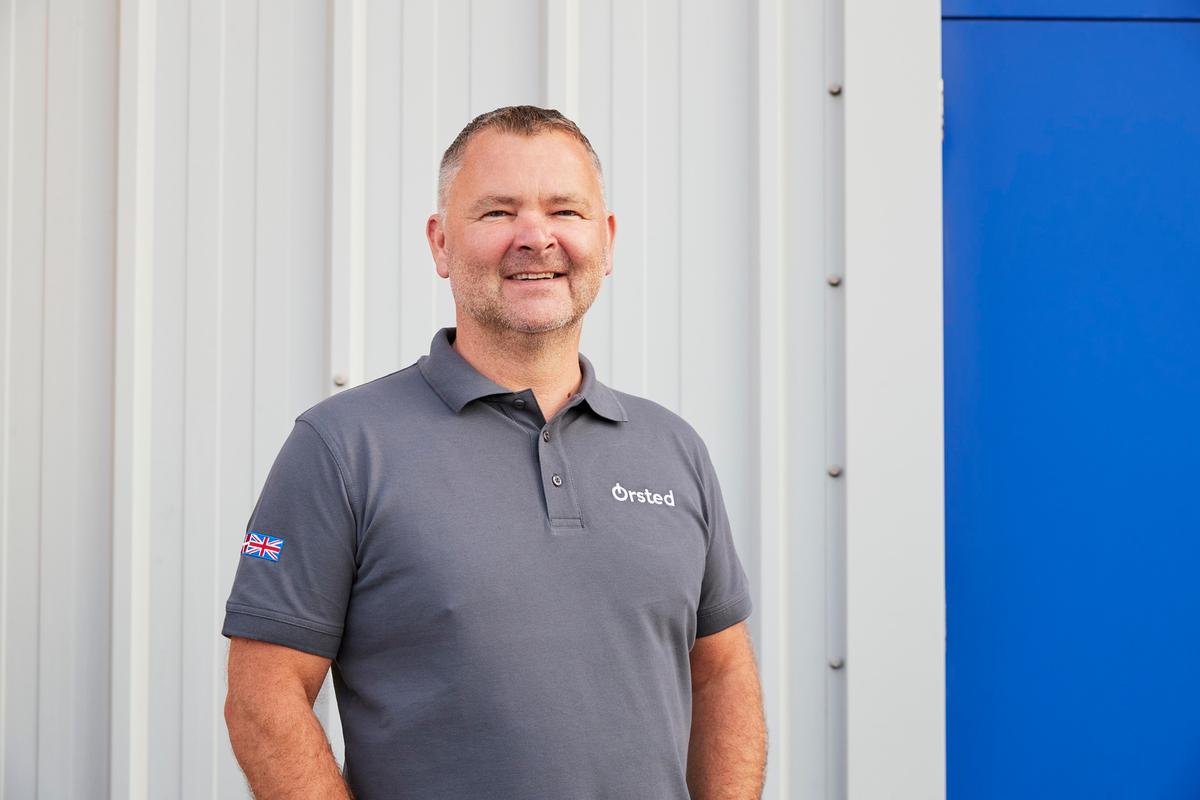
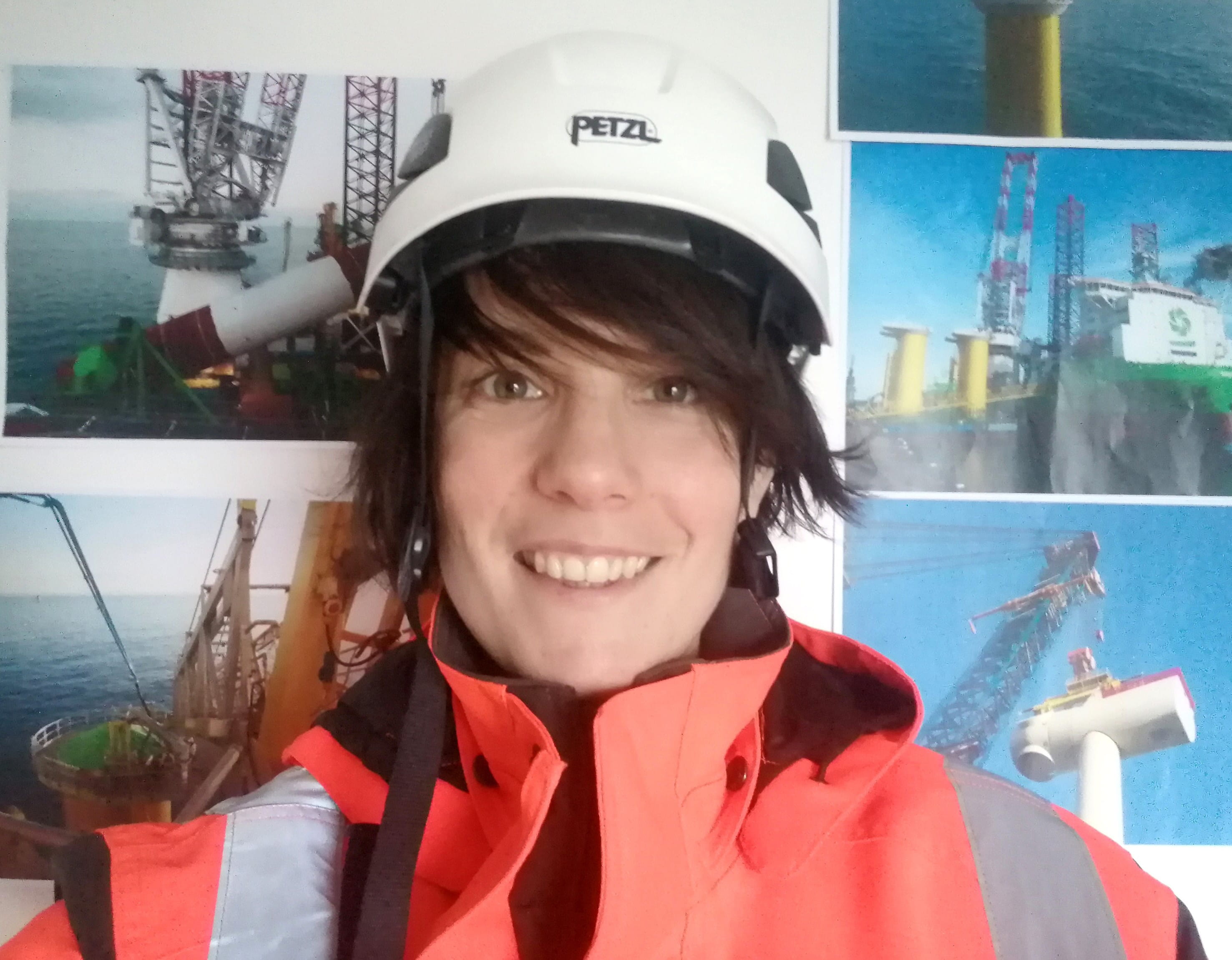
Meet the leadership team behind the project, as well as our community team on the ground in Norfolk who are there to answer any questions you may have.
Our aim is to be good neighbours while we work to deliver this nationally significant infrastructure project.
Meet the leadership team behind the project, as well as our community team on the ground in Norfolk who are there to answer any questions you may have.
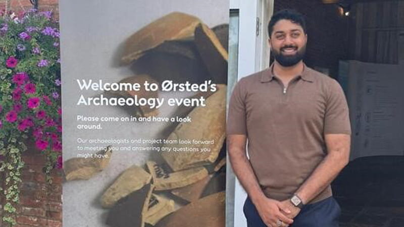

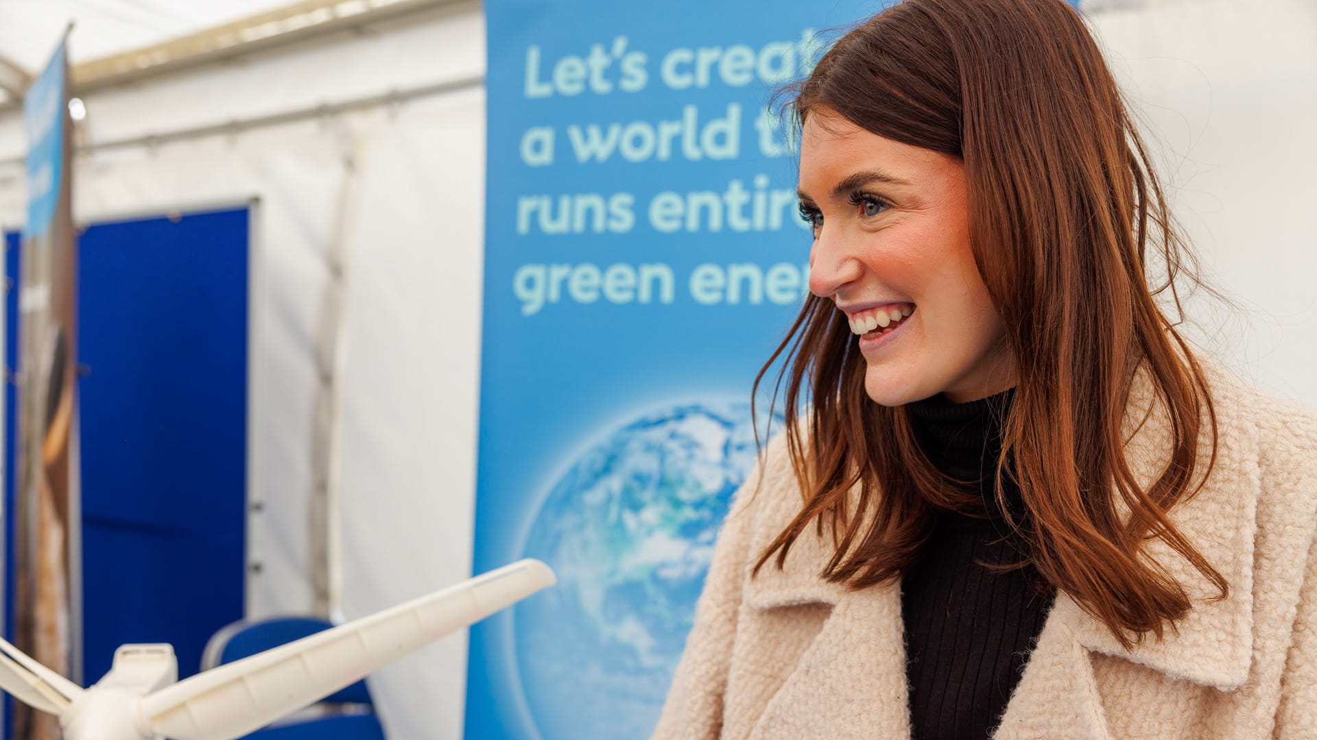


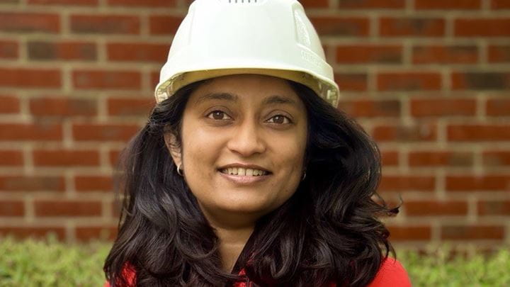
Header image: Aneesha Naushad Ali is a Senior Electrical and Instrumentation Engineer for Ørsted working on the Hornsea 3 Offshore Wind Farm.